‘A Digital Archive of Ireland’s Ordnance Survey’ is in the running for this year’s Digital Humanities (DH) Awards under the ‘Best Digital Humanities Resource’ category.
The Digital Humanities Awards are a set of annual awards where the general public is able to nominate and vote on resources for the recognition of talent and expertise in the digital humanities community. Voting is open until 4 April 2025. Members of the public are invited to vote for the nominated resources on the DH Awards website.
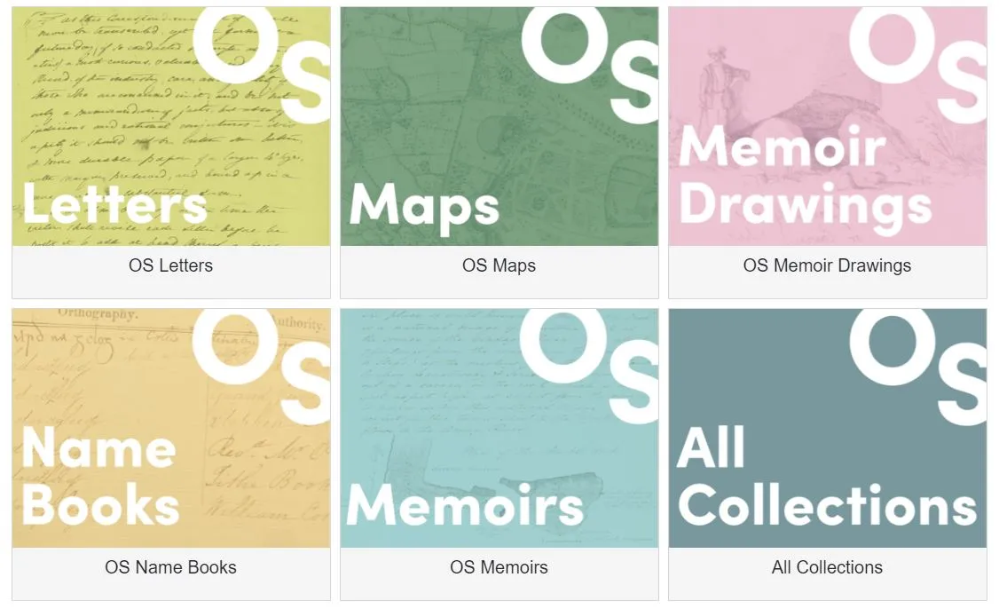
‘A Digital Archive of Ireland’s Ordnance Survey’ is a digital resource developed in partnership with the Digital Repository of Ireland (DRI) as part of the collaborative research project ‘OS200: Digitally Remapping Ireland’s Ordnance Survey Heritage’, which was funded by the Irish Research Council (IRC) and the Arts and Humanities Research Council (AHRC) as part of a cross-border collaboration announced in August 2021 and launched at DRI’s host institution, the Royal Irish Academy (RIA), in June 2024. The OS200 project was led jointly by Dr Catherine Porter at the University of Limerick (UL) and Professor Keith Lilley at Queen’s University Belfast (QUB) and drew on a wide network of archives and research performing organisations. The new digital archive gathers historic Ordnance Survey (OS) maps, memoirs, name-books, and letters in one archive so that researchers and members of the public can easily access the material.
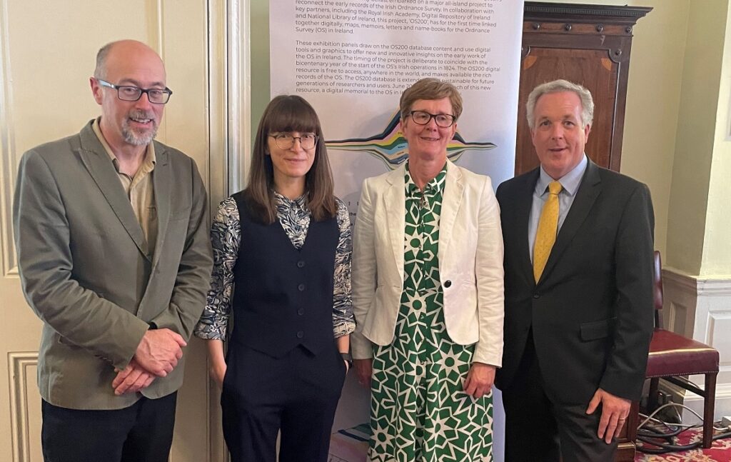
OS200 project co-leads Dr Keith Lilley (Queens University Belfast) and Dr Catherine Porter (University of Limerick), with Chief Survey Officers Suzanne McLaughlin (Ordnance Survey Northern Ireland) and Colin Bray (Tailte Éireann).
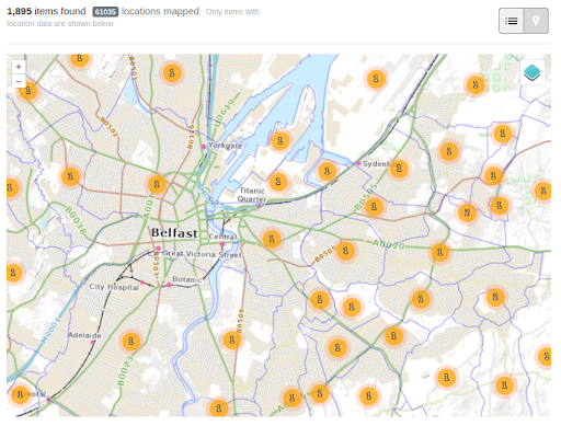
As one of the partners in the OS200 project, DRI was excited to contribute our knowledge and skills towards the development of the bespoke open access Digital Archive of Ireland’s Ordnance Survey, which we built on the Spotlight exhibition platform, an application for showcasing digital content in online exhibits. Given the nature of the project, the most important functionality of this exhibition platform was the mapping interface. DRI helped to develop the map functionality, allowing the mapping points contained in the OS200 metadata to be plotted on either modern or historic Ordnance Survey Ireland (OSi) map layers.
Map interface with OSi base layer selected and townlands shapefile displayed.
Explore the collections in the Digital Archive of Ireland’s Ordnance Survey: https://dri.ie/os200
Vote for the Digital Archive of Ireland’s Ordnance Survey in the DH Awards on the DH Awards voting page before the deadline of 4 April 2025.