

OS Letters
OS Letters
__________
The manuscript letters, extant at the Royal Irish Academy, cover 29 counties (excluding Antrim, Tyrone and Cork) and are collated into 40 volumes (c.16,880 pages). The … Royal Irish Academy have kindly made the letters available to the project, and, additionally, access has been provided by RIA to the O'Flanagan transcriptions of the letters from the early 20th century (1927-1930).

OS Maps
OS Maps
__________
The digitised map sheets have been made available to the project by Tailte Éireann via the National Mapping Agreement (NMA), as black and white and color overlays on … the map displaying the locations of sources. Additionally, scans of the individual maps sheets are available to view courtesy of the National Library of Scotland.

OS Memoir Drawings
OS Memoir Drawings
__________
In total 1624 drawings were created as part of the OS Memoir scheme. In addition to numerous drawings from the published Memoir counties, several also exist for … counties where Memoirs were never published. Although many of the drawings were published by Angélique Day in the book "Glimpses of Ireland's Past" the collection here represents the entire corpus of OS Memoir drawings.
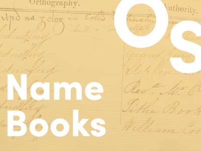
OS Name Books
OS Name Books
__________
Due to the sheer extent of the Name Books, OS200 tackles 5 border counties; Armagh, Cavan, Derry/Londonderry, Donegal, and Fermanagh. Future planned projects will look … to digitising the remaining counties and adding them to the digital resource. Images of Father O'Flanagan's transcriptions of the name books have been kindly made available to the project by the National Library of Ireland and they have undergone digital processing for inclusion in the OS200 resource. Additionally, Dr. Frances Kane has manually re-constructed the OSNB for Fermanagh using microfilm transcriptions of the original manuscripts kindly provided by Pat McKay.

OS Memoirs
OS Memoirs
__________
The Memoirs do not exist for every county--the scheme being withdrawn in 1839/40 due to cost. The publication of the Memoir volumes was completed in the 1990s by the … Institute of Irish Studies, QUB, and the Royal Irish Academy and has been made available to the project with thanks to Angelique Day.

All Collections
All Collections
__________
2024 marks the bicentenary of the inception of first Ordnance Survey (OS) of Ireland when the island was the first country in the world to be mapped at six inches to … the mile. Maps were only one part of the OS’s early work in Ireland. In addition, detailed written accounts in the form of letters, memoirs and name-books, as well as sketches and illustrations, were all also created by the OS. Today these historic records are geographically scattered across different libraries and archives. New digital technologies have enabled researchers across Ireland to reconnect OS written and visual materials, and from these reveal the impacts and traces of the OS in Ireland of two hundred years ago.
*Please note that we are still updating some of the files in our database. While we are working through this process you are still able to search and view the documents here. Thank you for your patience and please check back for updates!