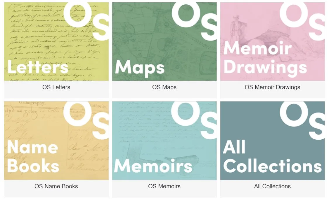
The Digital Repository of Ireland (DRI) was delighted to attend the launch of ‘A Digital Archive of Ireland’s Ordnance Survey’, a new digital resource developed in partnership with DRI as part of the collaborative research project ‘OS200: Digitally Remapping Ireland’s Ordnance Survey Heritage’, which was funded by the Irish Research Council (IRC) and the Arts and Humanities Research Council (AHRC) as part of a cross-border collaboration announced in August 2021. The new digital archive gathers historic OS maps, memoirs, name-books, and letters in one archive so that researchers and members of the public can easily access the material. The archive was launched at DRI’s host institution, the Royal Irish Academy (RIA), on Thurs 20 June, followed by a conference exploring Ireland’s rich Ordnance Survey (OS) heritage on Friday 21 June.
The OS200 project was led jointly by Dr Catherine Porter at the University of Limerick (UL) and Professor Keith Lilley at Queen’s University Belfast (QUB), bringing together a cross-disciplinary team of geographers, historians, archivists, linguists, computer scientists, and digital specialists. Drawing on a wide network of archives and research performing organisations, the project also included as partners the Digital Repository of Ireland (DRI), the Royal Irish Academy (RIA), the Public Record Office of Northern Ireland (PRONI), and the National Library of Ireland (NLI).
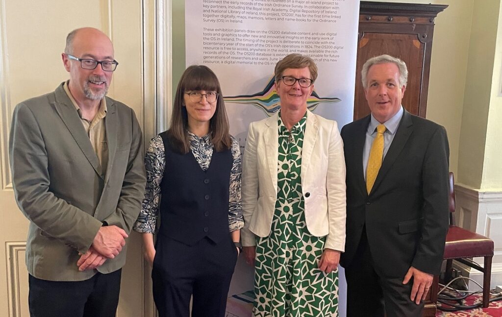
OS200 project co-leads Dr Keith Lilley (Queens University Belfast) and Dr Catherine Porter (University of Limerick), with Chief Survey Officers Suzanne McLaughlin (Ordnance Survey Northern Ireland) and Colin Bray (Tailte Éireann).
As one of the partners in the OS200 project, and the leading organisation for digital preservation in Ireland, DRI was excited to contribute our knowledge and skills towards the development of the bespoke open access Digital Archive of Ireland’s Ordnance Survey, where the thematic collections of maps, letters, memoirs, and other texts can all be freely discovered and explored by researchers, members of the public, and anybody interested in the history and heritage of OS in Ireland. DRI Director Dr Lisa Griffith reflects on the importance of DRI’s role in ensuring the sustainability of the digital collections:
DRI is proud to have a role in preserving these wonderful collections for future generations of researchers. The Digital Archive of Ireland’s Ordnance Survey shows what can be achieved when physical sources held in various libraries and archives are brought together in a digital space. Through the work of the OS200 research team, and DRI’s technical team, the collections can now be examined side-by-side prompting new research questions and answers.
Beginning in June 1824, Ireland was the first country in the world to be surveyed and mapped at the large scale of six-inches-to-one mile. This year marks two centuries since the beginnings of the most detailed historic land survey of Ireland. The official launch of the Digital Archive of Ireland’s Ordnance Survey on Thursday 20 June in the RIA marked the bicentenary of the inauguration of the early OS in Ireland. Professor Keith Lilley outlines the significance of the project:
With the Ordnance Survey so much an influence on Ireland past and present, the new digital archive created through the OS200 project will be of particular interest to all those wishing to understand what life was like on the island two centuries ago, for its people and their places. The collaboration at the heart of OS200 has been hugely successful and rewarding, and we are grateful to all those partners who have helped in this success.
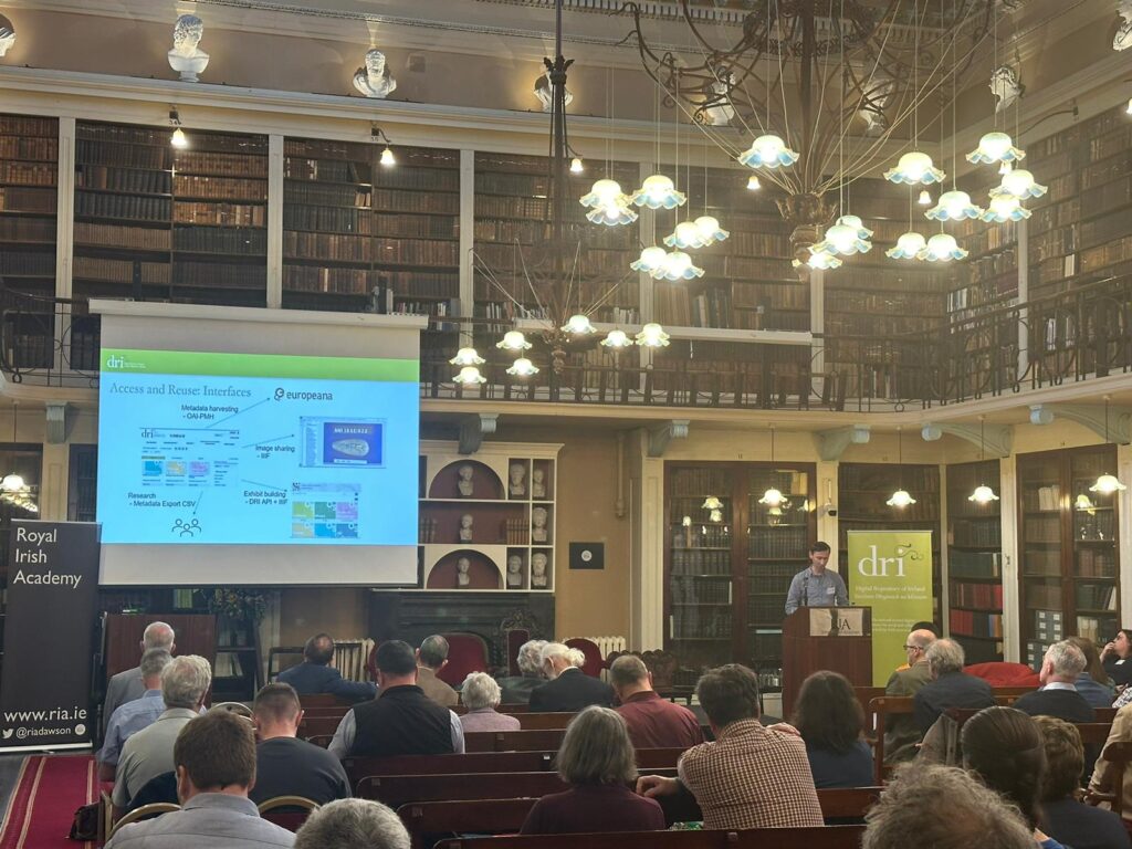
DRI Software Engineer Dr Stuart Kenny delivering a presentation at the OS200 Conference in the Meeting Room of the Royal Irish Academy
Drawing on the latest findings of the OS200 project, the OS200 conference, which took place at the RIA on Friday 21 June, explored how Ireland’s OS unfolded. DRI Senior Software Developer Dr Stuart Kenny spoke at the conference about developing the online resource as part of the project:
Creating the online resource for OS200 allowed us to improve our exhibition platform and also to gain valuable experience in working with new mapping libraries and services. We expect this knowledge and the tools developed to be very beneficial to our wider membership and users in the future.
DRI Digital Archivist Kevin Long spoke about the process of curating digital collections as part of the project:
OS200 presented an opportunity for us to work with an ambitious multi-institutional project to develop new pathways for depositing material in the DRI Repository outside of our traditional membership model, and to present a variety of collections from diverse sources in a seamless manner for our end users.
The digital outcomes of OS200 will advance our understanding of how Ireland was mapped two centuries ago, and open new and wider audiences to the legacies and impacts of the OS, whilst recognising the lasting significance of the survey and marking the bicentenary of its instigation. DRI is proud to have been a partner in this momentous project. Explore the collections in the Digital Archive of Ireland’s Ordnance Survey: https://dri.ie/os200