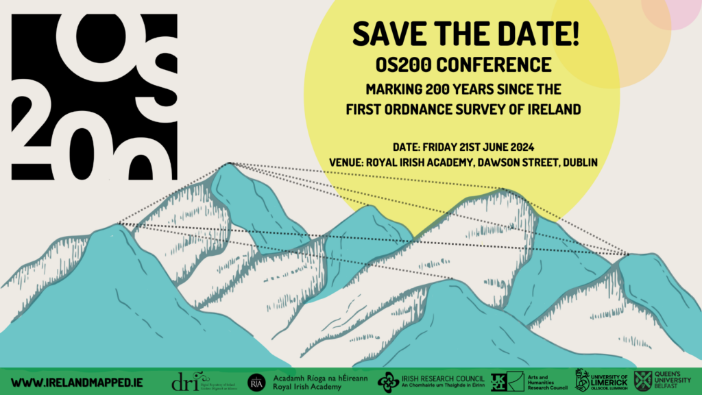
Begun in June 1824, Ireland was the first entire country in the world to be surveyed and mapped at the large scale of six-inches-to-one mile. Drawing on the latest findings of a three-year research project on ‘digitally remapping Ireland’s Ordnance Survey heritage’, the OS200 conference explores how Ireland’s Ordnance Survey unfolded during the first decade of its operations.
The OS200 conference will include presentations by our project researchers, covering a wide range of OS visual and written sources, including maps, letters, name-books and memoirs, using these to reveal new and compelling stories about the OS and its impacts on Ireland’s landscape and culture. To place the Irish OS in a wider context, the conference also includes three keynote lectures by leading scholars.
Please join the OS200 project team and our partners and collaborators to see what new insights are revealed of the Ordnance Survey’s work of two hundred years ago.
The conference is free and open to all, but spaces are limited, and advance registration is essential.
Venue: The Royal Irish Academy.
Date: 9.30am – 5.30pm, Friday 21 June 2024.
Please note the conference is in person only.
Further details on the programme will be posted very soon. While you wait, you can learn more about the project at www.IrelandMapped.ie or by following the project on X @IrelandMapped.
Led by the University of Limerick and Queen’s University Belfast, the OS200 conference is co-funded by UKRI-Arts and Humanities Research Council and the Irish Research Council under the UK-Ireland Collaboration in the Digital Humanities Research Grants (AH/Q001802/1 and IRC/W001802/1), their bilateral digital humanities partnership programme.


