The Historical Atlas of Cork, encompassing both its printed and digital collections, was officially launched on November 21 2024, by Cllr Dan Boyle, Lord Mayor of Cork City, at the Royal Irish Academy. This comprehensive work explores Cork city’s evolution from its origins around 625 AD to the present day and represents years of dedicated research and collaboration by the Irish Historic Towns Atlas (IHTA).
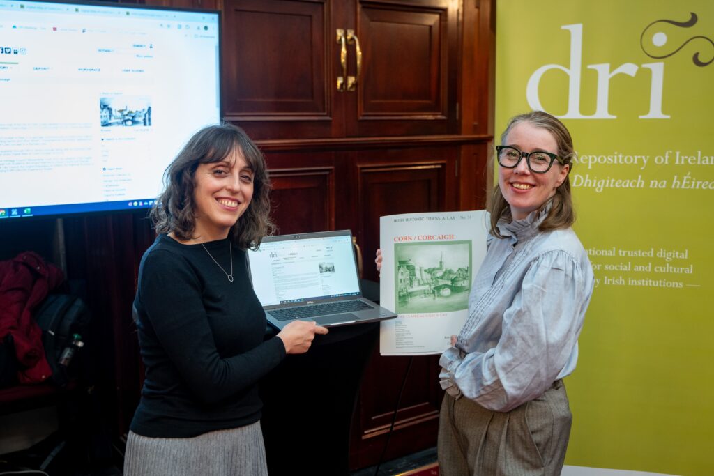
A key highlight of the launch event was the announcement of the Irish Historic Towns Atlas collections on the Digital Repository of Ireland (DRI), ensuring long-term digital preservation and access for these important materials. Attendees were offered an immersive walkthrough of interactive displays and digital demonstrations showcasing the various aspects of Cork’s rich history, presented by Howard Clarke and Máire Ní Laoi.
Rachel Murphy also provided live demonstrations of the Digital Atlas of Cork, showcasing its 6,245 themed sites, layered historic maps, and video tutorials, illustrating how users can explore Cork’s history interactively.
The President of the Royal Irish Academy, Pat Guiry, opened the event by welcoming attendees and stating that these print, digital, educational, and preservation resources bring Cork’s historical narrative to life. Following this, the Lord Mayor of Cork, Cllr Dan Boyle, expressed his enthusiasm for the expanded Cork resources, highlighting their value in deepening our understanding of the city’s history and development.
Michael Potterton, Chair of the IHTA Editorial Board, contextualized Cork’s history within regional, national, and international frameworks; while Sarah Gearty, Managing Editor of the IHTA, highlighted the significance of the newly available digital resources hosted on the DRI, underscoring their importance for research and public engagement.
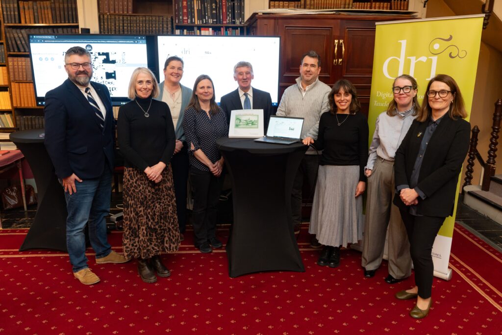
DRI deputy digital archivist Noelia Romero further explained how the IHTA Cork data can be accessed and utilized through the Digital Repository of Ireland, highlighting its practical applications for research and learning:
“It has been a real pleasure working with IHTA on publishing the Digital Atlas of Cork/Corcaigh to the repository. In close collaboration with the IHTA team, we have successfully navigated complexities arising from this specific collection, which is comprised of audiovisual material, topographical information, and very valuable datasets, making it accessible and reusable for both the public and researchers.”
The IHTA Cork collection can now be viewed in full in the Repository.
DRI are delighted to include this valuable collection from IHTA in the Repository. Other collections in the Repository include: the Hardiman Atlas, Waterford City Maps and Dublin City Surveyors Maps 1695-1827.
You can keep up to date with all of our collections by signing up to our newsletter.

